Display the Data on a Geographical Map
Required Permissions
This section requires the Application Designer permission from your Domain's administrator.
Check What are the Design Tasks? to learn more about permissions to work with Design Mode and other tools.
Learn how to enable a geographical map in your application to display data from Latitude, Longitude, and WKT Shape type fields. This feature is called Geo View.
Note
Your application's Storage must contain at least a Latitude and Longitude or WKT Shape fields for the Geo View to display any data. The Geo View displays data only from these field types.
The Geo View represents data only from the Master table in your application.
Example
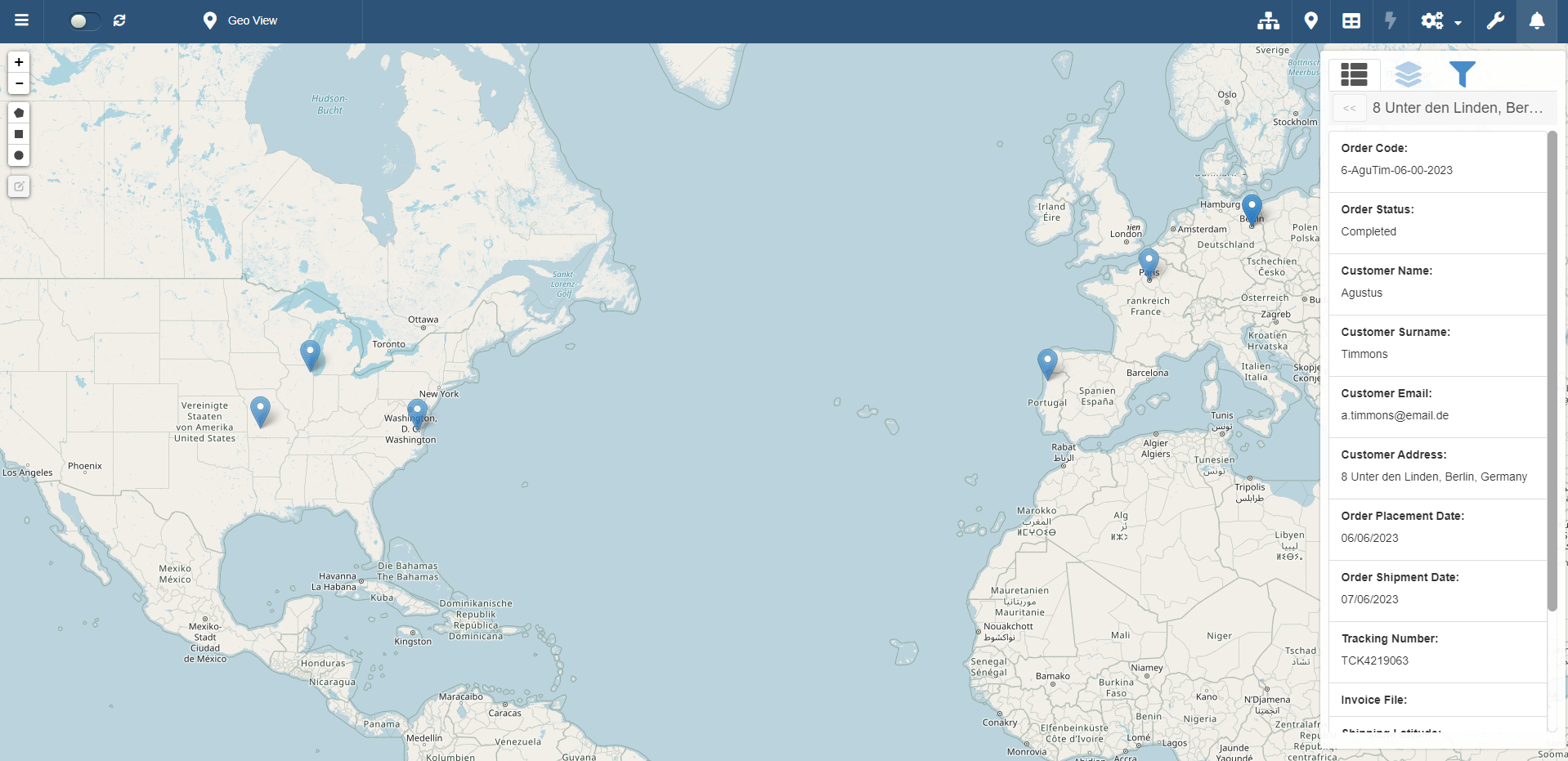
Users of Warehouse Orders should view on a map where each shipping is going.
The Master table of Warehouse Orders contains two fields: shippingLatitude (Latitude-type field) and shippingLongitude (Longitude-type field).
You need a Geo View to represent these data on a map.
Follow the steps below to activate the Geo View in your application.
-
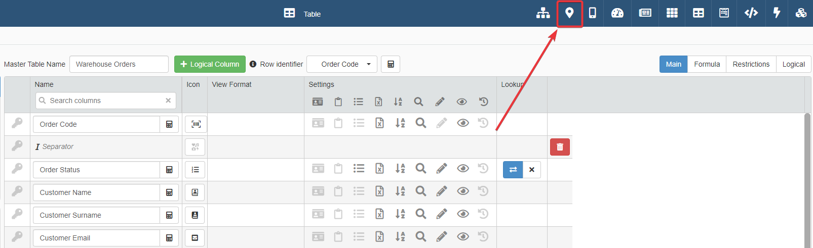
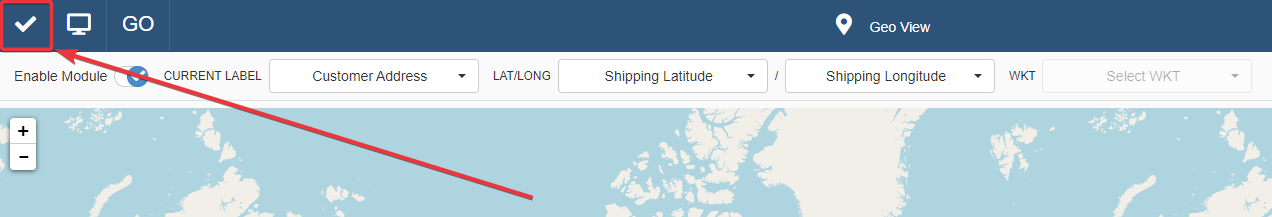
In Design Mode from any panel, click on the icon in top-right corner. This action leads to the Geo View panel.
-
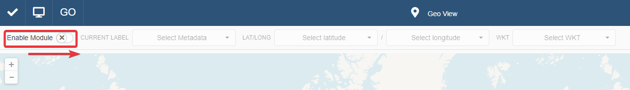
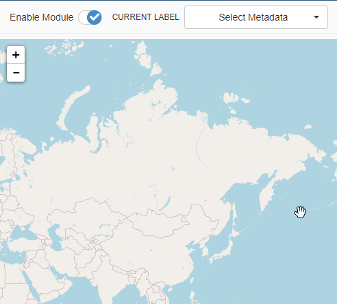
In the Geo View panel, click on the Enable Module toggle-switch to turn on the Geo View in your application.
-
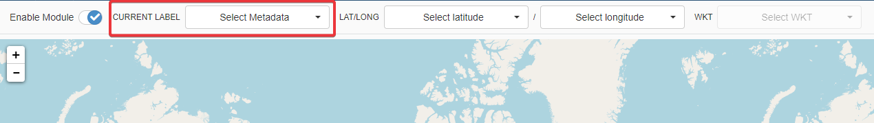
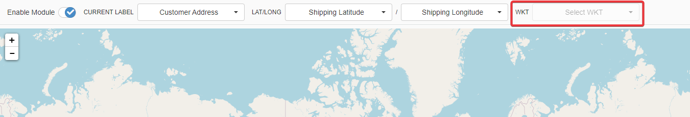
Choose a field as Metadata from the drop-down list. The Metadata is the label that the Geo View displays on the map's pinpoints.
-
Choose the Master table's fields containing the data to be represented.
If you have a Latitude and Longitude fields, choose them from the LAT\LONG drop-down lists.
Example
The Warehouse Orders Designer chooses Shipping Latitude (
shippingLatitude) and Shipping Longitude (shippingLongitude) as fields for the geographical representation.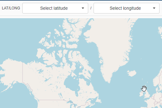
If you have a WKT Shape field, choose the WKT Shape field for the geographical representation from the other drop-down list.
-
Click on the Save button in the upper-left corner to save the Geo View's configuration.
Success
You have configured a geographical map to view latitude and longitude or Well-known text information in your application.